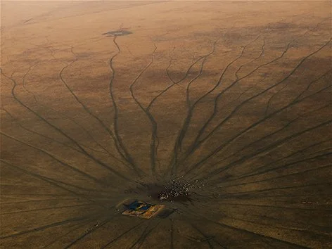
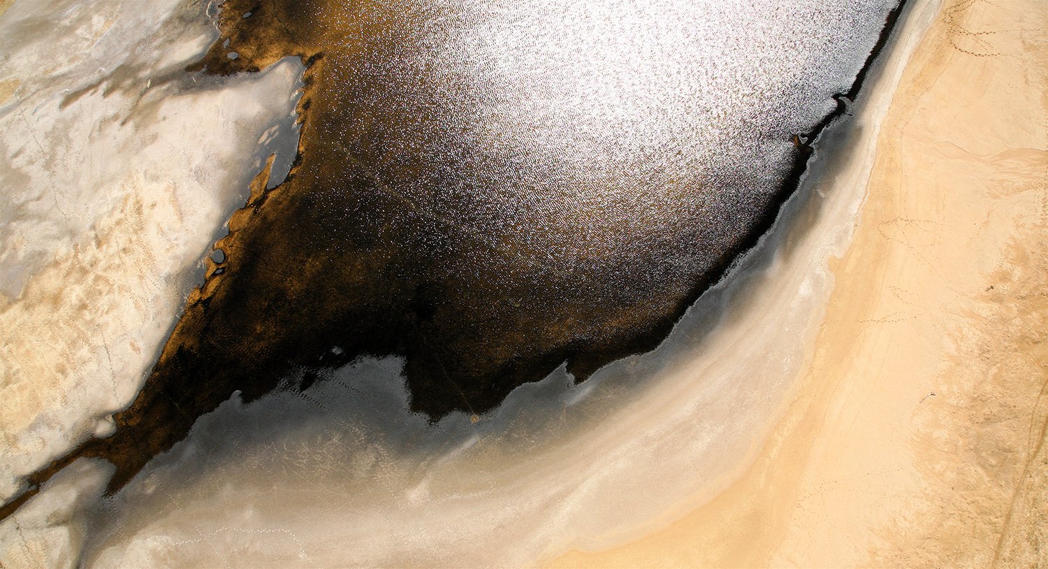
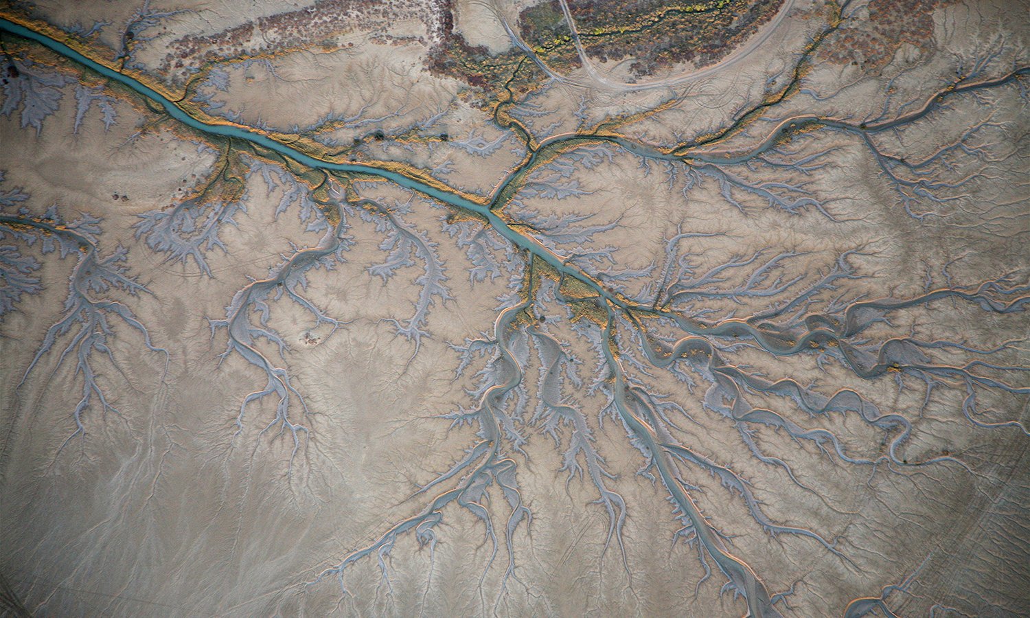
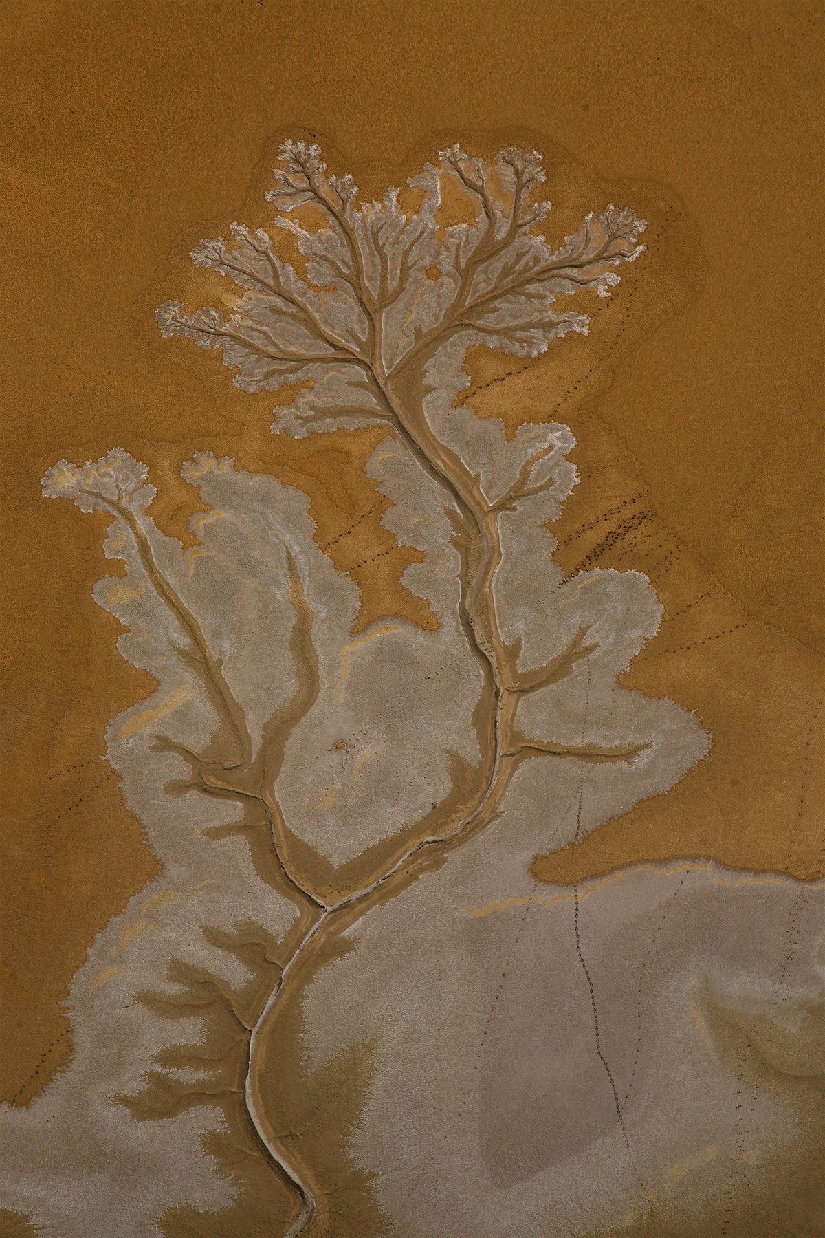
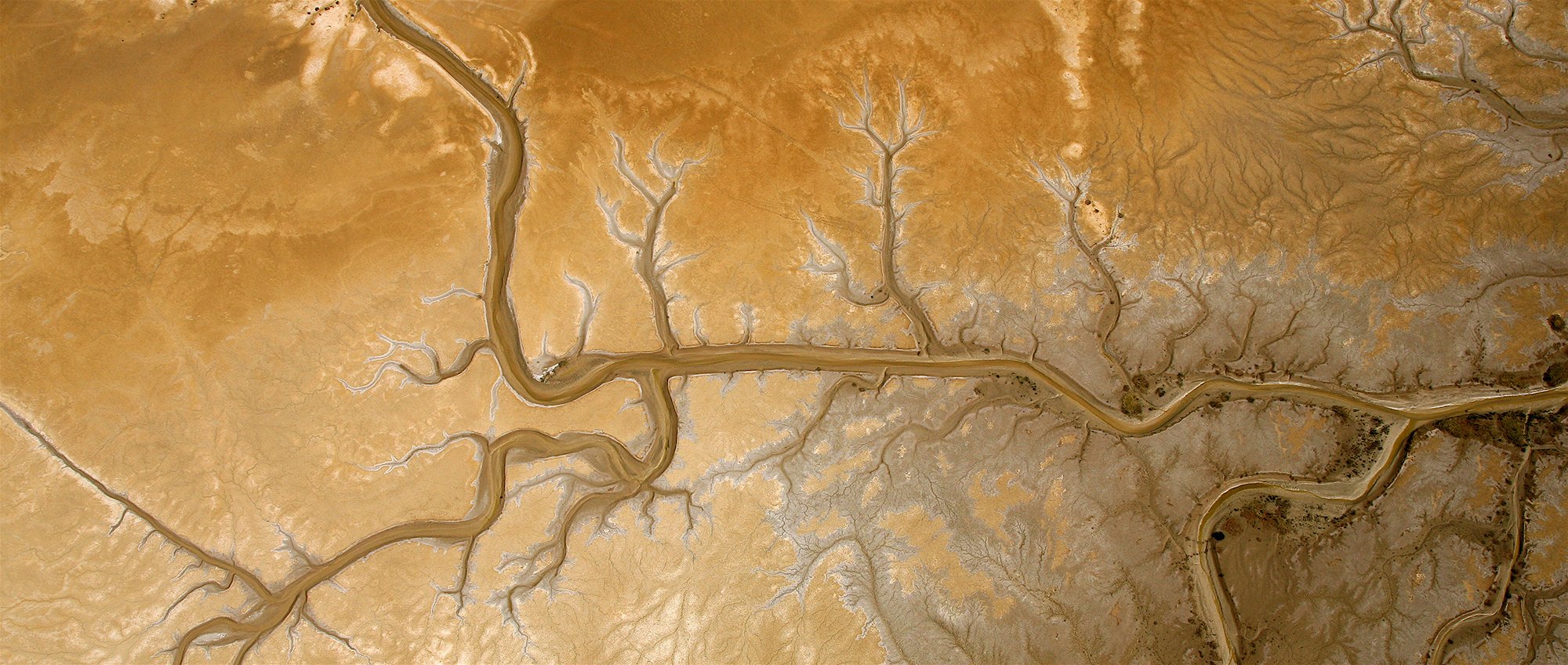
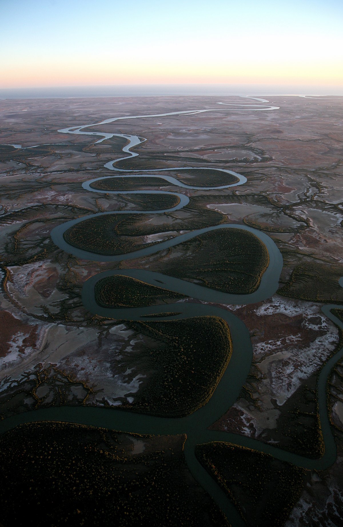
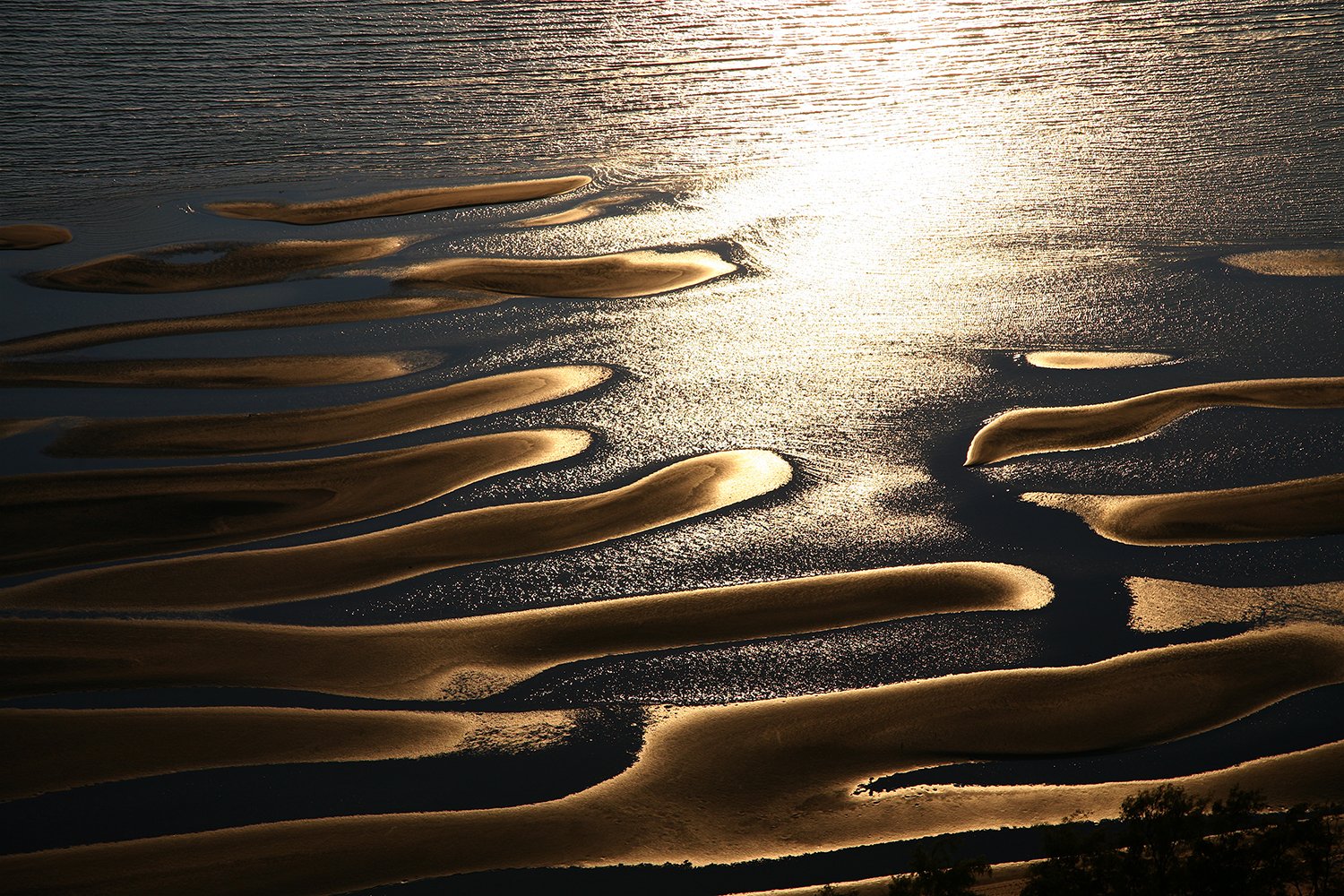
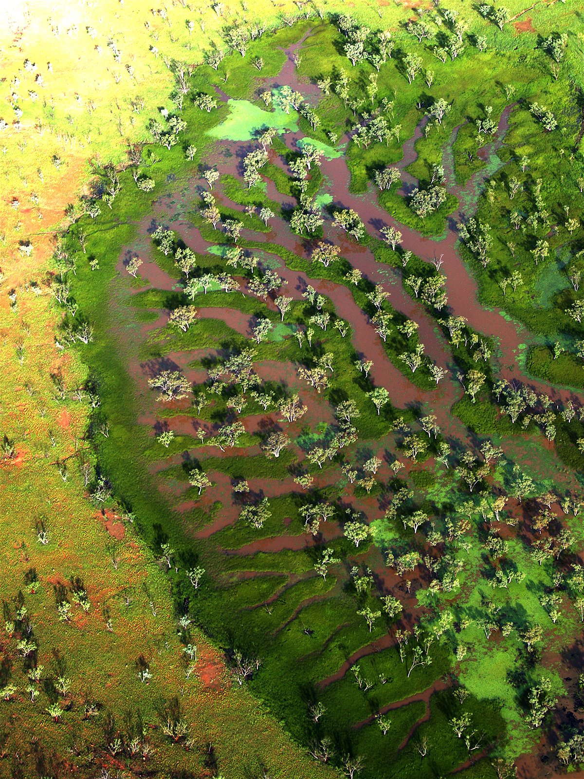
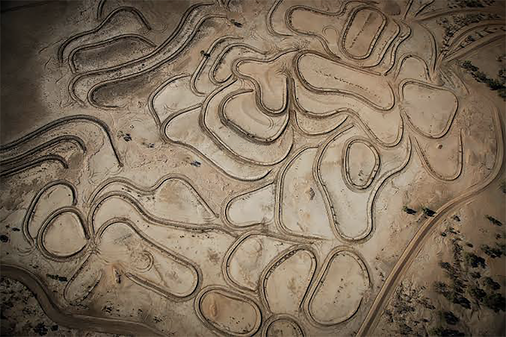
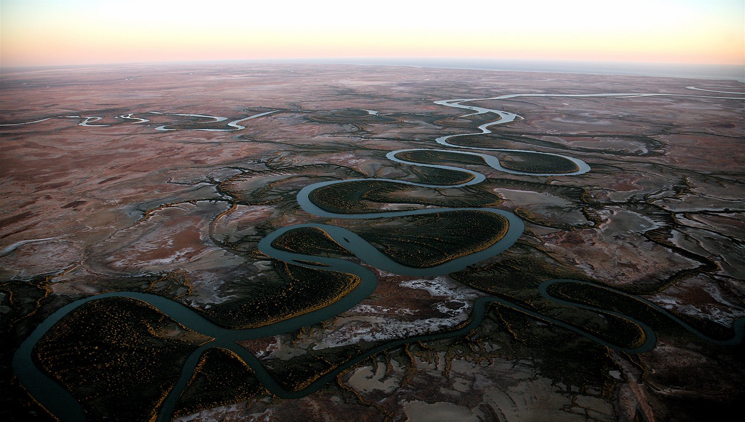
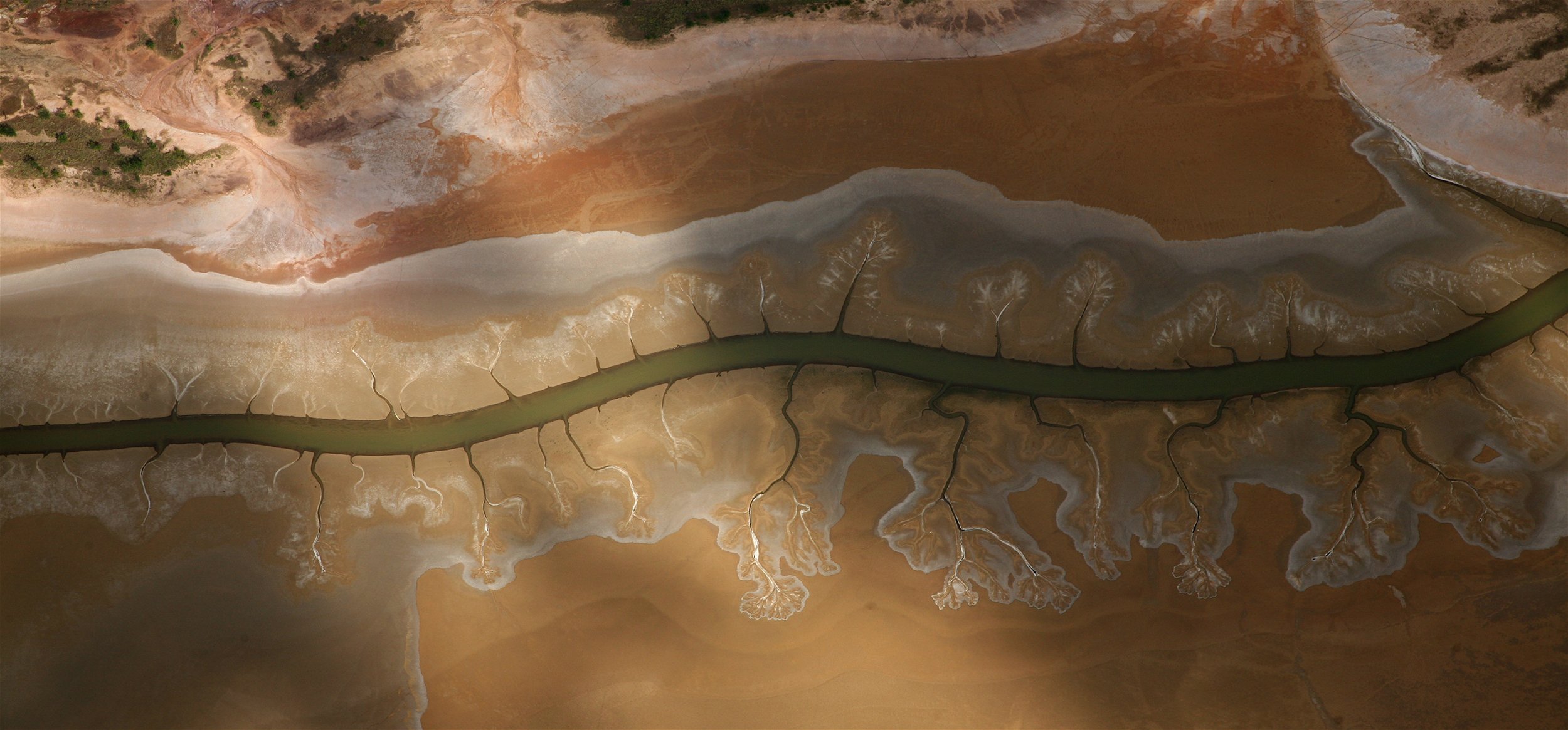
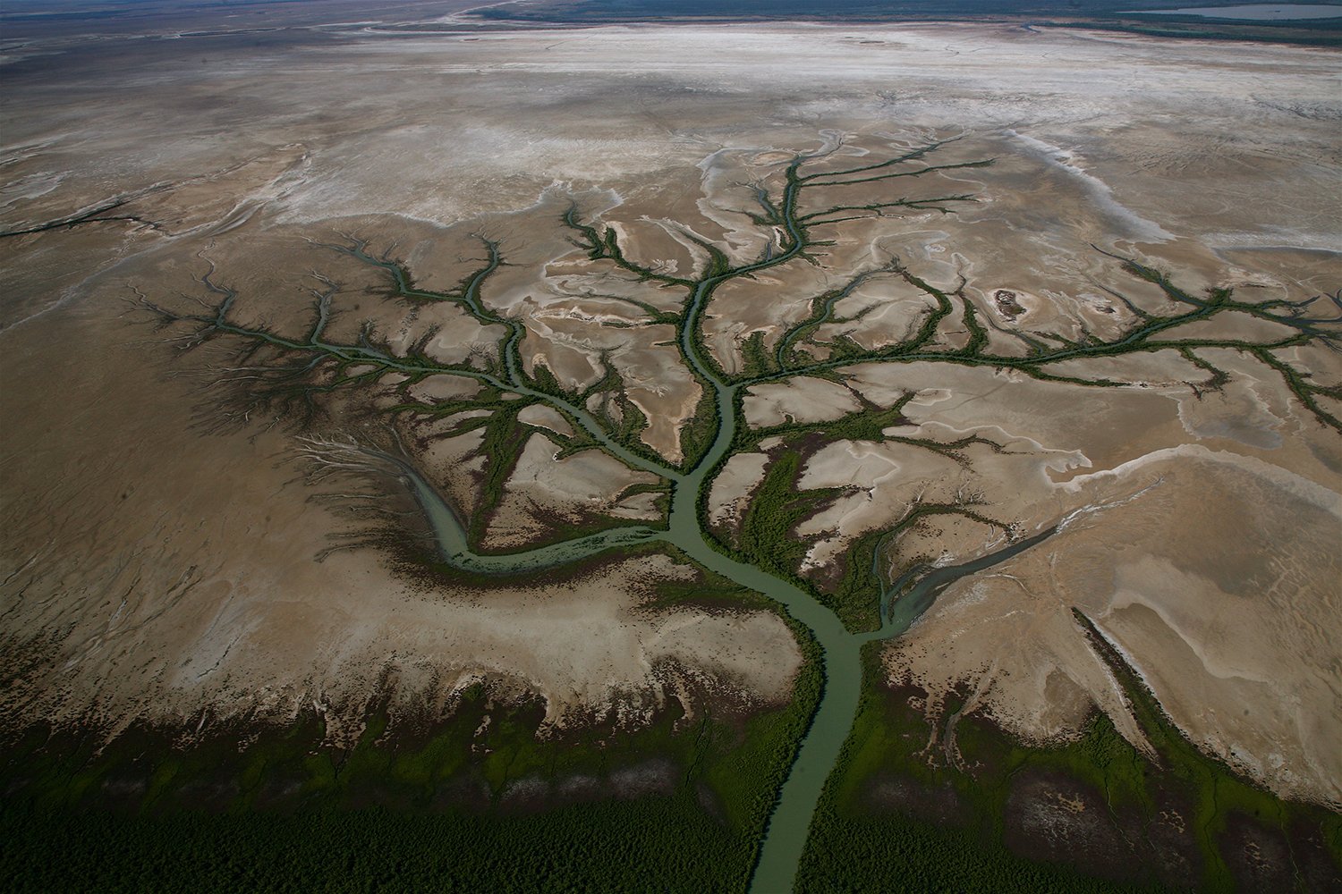
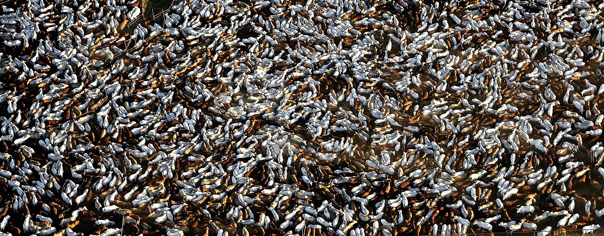
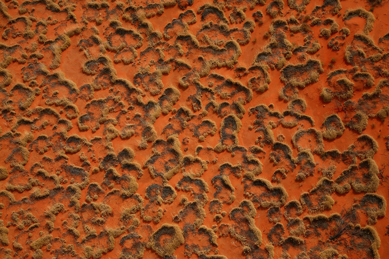
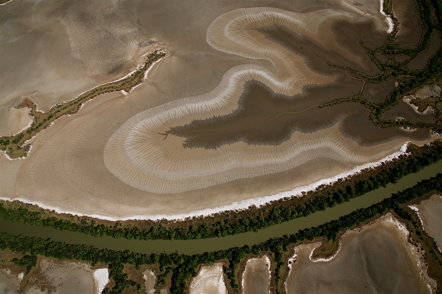
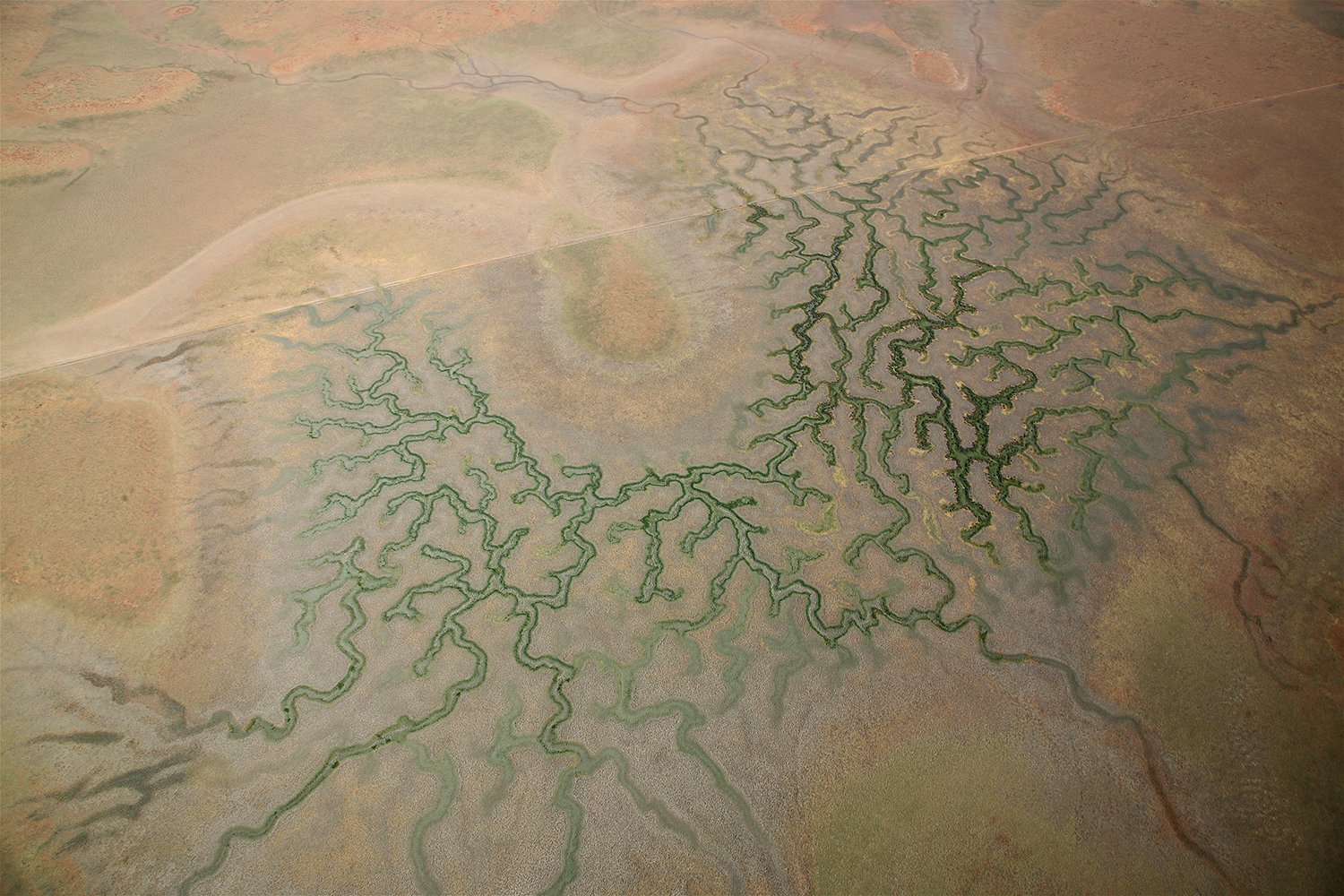
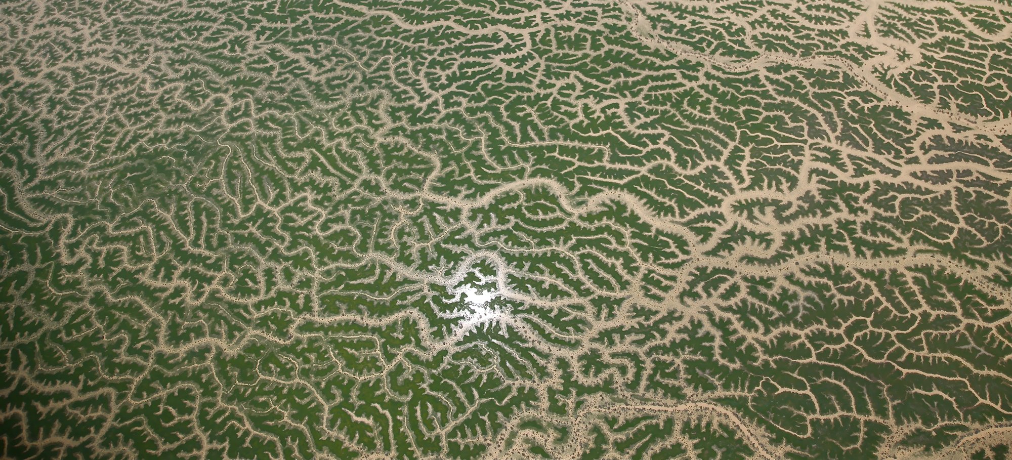
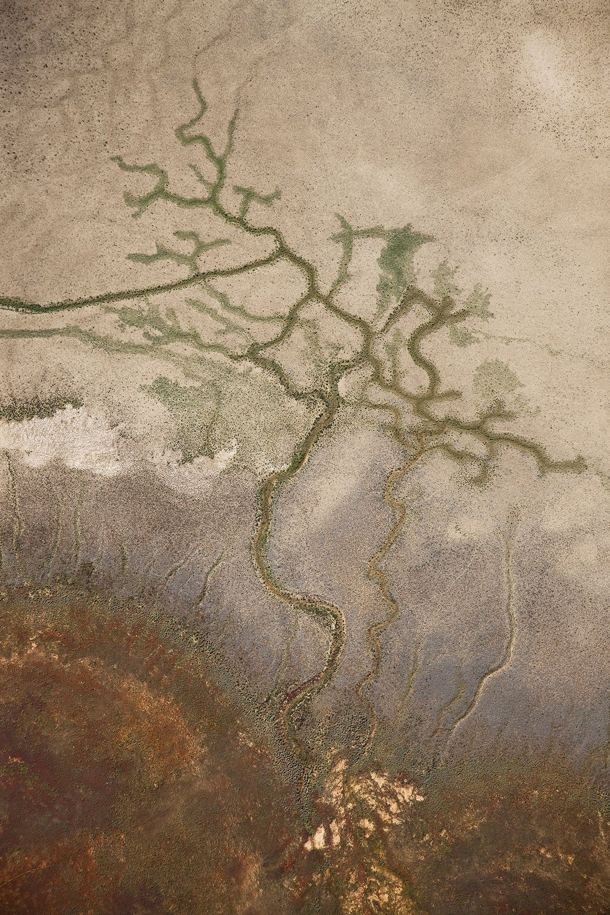
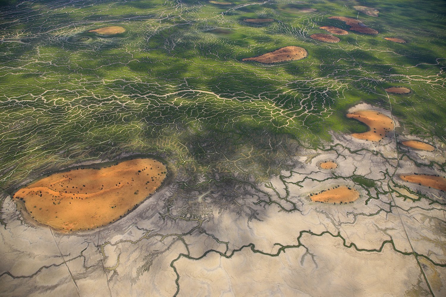
All / Aerial Abstracts Aerial Abstracts Clear Filters Categories All All Aerial Abstracts Barkly Tabeland Gulf Of Carpentaria Victoria River Channel Country Mungindi Brenda Station 2012 South West Queensland Byron Bay Filter Clear Filter Anthony's Lagoon Lake Wyara, SW Queensland Wernadinga salt arm Manangoora salt arm east of Borroloola NT Salt arm Sand, salt and sea River flats Gulf creek flats Wernadinga Salt arm Rivers and salt flats Sandhills on Glenormiston Reflections on Seven Emu boundary Salt arm Looking south from the coast across Armraynald Near the mouth of the Robinson River Salt arm Firebreaks in spinifex country Alroy Downs NT Dry lake country, Eva Downs NT Darling River flats Diamantina River, Channel Country Armraynald salt flats and rivers Wernadinga, creeks near the sea Tide flowing through mangroves River tree, Gulf of Carpentaria Patterns in the salt flats Bynoe River, west of Karumba Flinders River flats Dry times, Lake Nash River and salt arm near Karumba Tidal estuaries and tributaries, Flinders River Yardful of Steers Gulf salt arm patterns Spinifex on sand dunes Glenormiston Tidal river and salt flats in the Gulf country Designs in nature, Gulf salt arms Marion Downs, Channel Country Cordillo Downs, South Australia Channels, Cooper Creek Cooper Creek in flood south of Windorah Salt arms in the Gulf Simpson Desert near the Diamantina River patterns Cooper Creek Marion Downs late afternoon Flood plain meets desert Marion Downs Reflections on the Cooper South Galway Station on Cooper Creek Sandhills, Cooper Creek Sunset south east of Birdsville, Simpson Desert, South Australia No results found No results match your search. Try removing a few filters.